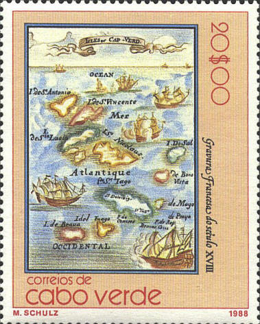
Alain Manesson Mallet (1630-1706) was an
engineer, cartographer and surveyor for King Louis XIV. In 1663 he
published a five volume Description de Univers, containing a
map of the world as it was known at that time. This map of Isles du
Cap-Verd was published by Mallet in 1685.
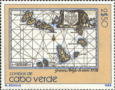
I was able to identify the other five maps in
the set, but not this one. The stamp identifies itself as Gravure
Belga do seculo XVIII. I have not been able to improve on this
identification.
  |