|
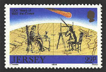
Jersey 394
An
isoline map is a map with continuous lines joining points of the
same value. Examples would be equal altitude (contour lines),
temperature (isotherms), barometric pressure (isobars), wind speed
(isotachs), wind direction (isogon), wind shear (isoshear), etc.
Isoline mapping is used to interpret the information on some thematic
maps. In 1584 Peter
Bruinss drew a chart with lines showing equal depths of water. This
may be the first isogonic chart, but it was not published.
In 1701
Edmond Halley published the first such map, a chart of the Atlantic
Ocean showing lines of magnetic deviation. A year later he published a
map showing isogones over the whole world. In Halley's time the lines
were called Halleian lines in recognition of Halley's
contribution.
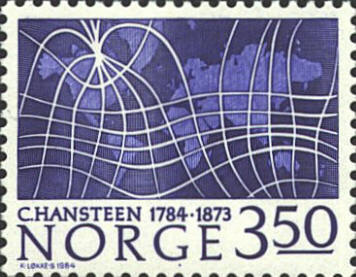
Norway 839
In 1819
Christopher Hansteen published a volume of researches on terrestrial
magnetism. He established the first astronomical observatory in
Norway, and was appointed President of the Geodetic Institute. A
crater on the moon is named for him.
The stamp shows a map of the world (Mercator
projection) with generalized lines of magnetic declination


|
