|
Canada 370
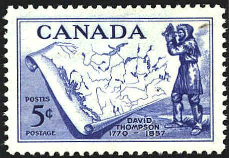
In 1813 David Thompson created a chart approximately ten feet by six
and a half feet tall, Map of the North West Territory of the
Province of Canada. This is not the map that appears on the
stamp honoring David Thompson. It is a fictionalized map of the
general area.


 |
