|
Ireland, England, West Coast of Europe
The map behind the ship is from
an antique map. The ship Mari cog is a 13th to 14th century
ship. The map that comes to mind is the Catalan Atlas, and that
may be the probable source.

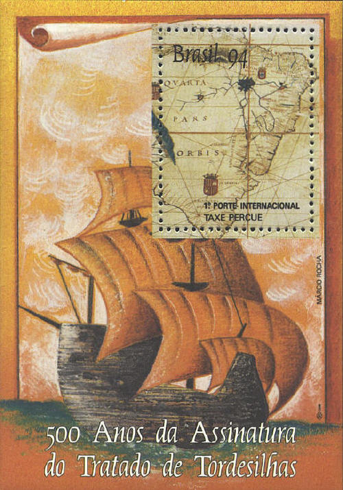
Brazil
The map is not identified,
but the shape of South America is similar to that of Linschoten's or
Blaeu's map of the continent. The souvenir sheet was issued in 1994 to
mark the 500th anniversary of the signing of the Treaty of Tordesillas
which divided the world between Spain and Portugal. The arms of
Portugal and Spain appear on the map on either side of the Treaty
line.
 |
